|
Quantity
|
Price
|
||
|
|
|||
Whether you're hiking, hunting, rock climbing, geocaching, kayaking or mountain biking, explore more of the world with this rugged, portable GPS with a 3-inch color display, preloaded maps, ABC sensors and high accuracy.
3” screen with excellent image quality in the sun.
The navigator is compatible with Garmin Explore™ for managing tracks, routes and waypoints, as well as viewing statistics on the screen.
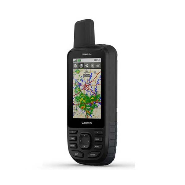
Get weather forecasts and view real-time weather radar.
Supports GPS and Galileo global navigation systems to ensure reliable communications and navigation in challenging environments.
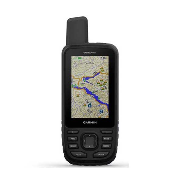
With pre-loaded TopoActive maps of Europe.
Download BirdsEye satellite images directly to your device.
Up to 36 hours in GPS mode and up to 450 hours in expedition mode.
The navigator body meets the MIL-STD-810 standard for protection against thermal, water and shock influences. The compact GPSMAP 66sr GPS navigator is convenient to carry in the pockets of clothes or a backpack, as well as on equipment.
Satellite navigation
Access multiple global navigation satellite systems (GPS, GLONASS, Galileo) for tracking in challenging environments where GPS alone cannot cope.
ABC sensors
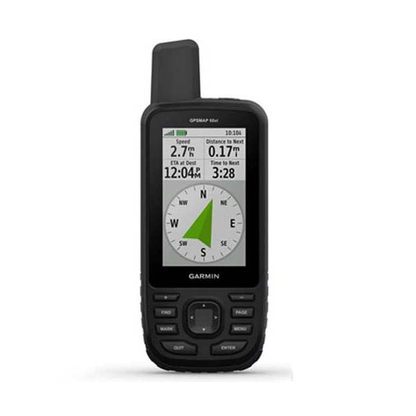
Navigate your route using ABC sensors including an altimeter for altitude, a barometer for weather monitoring, and a 3-axis electronic compass.
Watch where you're going
Get a better understanding of your location with high-resolution, photorealistic images of your route delivered straight to your device by BirdsEye satellite imagery.
Pre-loaded TopoActive maps
Pre-loaded TopoActive maps of Europe provide a detailed overview of streets, land use areas, buildings, natural features, international borders, waterways, historical sites, airport facilities.
Weather forecasts
When paired with your compatible smartphone, you can take advantage of the Active Weather weather service and get updated real-time weather forecasts, including maps of temperature, wind, precipitation and cloud cover. The navigator also allows you to view weather radar in real time. Find out the weather forecast for your current location, waypoints, or planned destinations along your route.
Built for adventure
The device is protected against temperature, shock and water in accordance with the military standard MIL-STD-810G and is compatible with night vision goggles.
LED flashlight
The LED flashlight built into the navigator, which can be used to signal for help, will minimize the weight of the equipment.
Geocaching
Download GPX files directly to your device and view key information about caches, such as locations, terrain features, and geocaching.com tips.
Garmin Explore™ app
Plan, view and sync waypoints, routes and tracks using the Garmin Explore mobile app and website. You can even view previous activities while outdoors away from home.
Battery
The internal lithium-ion battery provides up to 36 hours of battery life in GPS mode and up to 3 weeks in expedition mode.
Equipment
Navigator GPSMAP 66sr
USB cable
Carabiner mount
Instructions


