|
Quantity
|
Price
|
||
|
|
|||
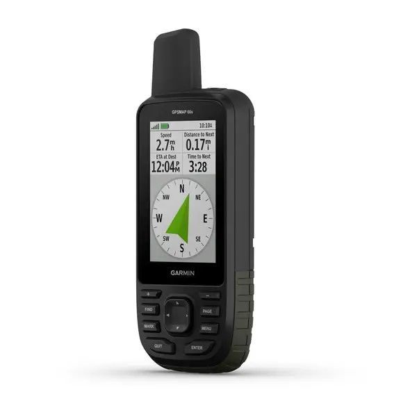
Premium GPS with BirdsEye Satellite Imagery Subscription
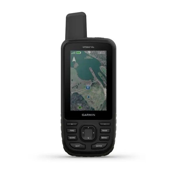
Large 3" color screen for easy viewing of information.
Supports multiple global satellite navigation systems for fast positioning in difficult conditions, three-axis compass and barometric altimeter.
Access to the BirdsEye Satellite Imagery service without an annual subscription with the ability to download to your device.
Wireless technologies: current Active Weather forecasts, animated weather radar, geocaching in real time (Geocaching Live) for synchronization with mobile phone and updates.
The device is compatible with Garmin Explore™ to manage tracks, routes and waypoints, and view on-screen statistics.
up to 16 hours of continuous operation in GPS mode; 1 week of operation in “expedition” mode on one charge from AA batteries.
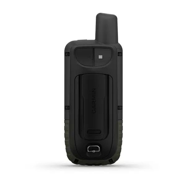
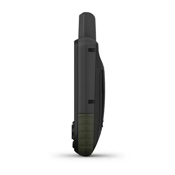
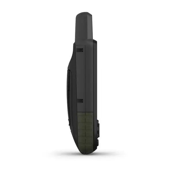
Embark on new adventures with the GPSMAP 66S series GPS navigator. Whether your hobby is hiking, hunting, mountaineering, geocaching, kayaking or mountain biking, you can explore more with our rugged premium navigator, which features a 3-inch color screen and includes a lifetime subscription to satellite imagery. , loaded directly into the navigator. The high-quality Quad-Helix antenna supports multiple navigation systems to take positioning to the next level. In addition, the device offers wireless connectivity, allowing you to use Active Weather and Garmin Explore services, as well as download data directly to the navigator.
Know the exact direction
In addition to supporting multiple navigation systems, the GPSMAP 66 includes a full complement of navigation sensors (altimeter, barometer and compass). The built-in altimeter gives accurate altitude data for tracking ascents and descents, while the barometer can be used to preview weather changes, showing short-term changes in barometric pressure. The 3-axis compass points you in the exact direction whether you're moving or not.
Watch where you're going
Get a better understanding of where you are with photorealistic images of your route from BirdsEye satellite imagery. For GPSMAP 66 series navigators, this service is provided free of charge without the need to purchase an annual subscription. You'll see everything around you and be able to find suitable trails, staging areas, campsites and geocaches. Additionally, you can create waypoints based on prominent landmarks.
Stay informed about weather changes
Sync your GPSMAP 66 with a compatible smartphone and get weather forecasts. Get updated real-time weather forecasts including temperature, wind, precipitation and cloud maps. It also includes real-time weather radar so you know in advance about adverse weather conditions that could ruin your adventures.
Fun geocaching
GPSMAP 66s and GPSMAP 66st make geocaching even more convenient. You can set it to automatically update geocaches in Geocaching Live with descriptions and hints. You don't have to manually enter coordinates or print out information for each cache. All data is automatically uploaded to your Geocaching.com profile using Wi-Fi® or the Garmin Connect app on your compatible smartphone.
Explore with Garmin
Even when you're offline and in an area without cellular coverage, GPSMAP 66 syncs with the Garmin Explore mobile app, letting you plan, view, and sync data, including routes, waypoints, and tracks. You can view completed activities even while on a hike far from civilization. Once you're home, plan your upcoming trips and view your previous activities on the Garmin Explore website.
Excellent autonomy in difficult conditions
Get ready for the most extreme adventures. GPSMAP 66 navigators offer up to 16 hours of continuous operation in standard GPS mode and up to 1 week in expedition mode from two AA batteries. The navigator is equipped with an LED flashlight that can transmit an SOS signal in an emergency. The device is protected from temperature, shock and water according to the military standard MIL-STD-810G and is compatible with night vision goggles.

