|
Quantity
|
Price
|
||
|
|
|||
Highly durable tourist navigator with an improved GPS/GLONASS antenna, 8 megapixel camera and built-in Wi-Fi module
An improved and more efficient GPS/GLONASS antenna ensures instant reception of satellite signals in remote locations and harsh operating conditions.
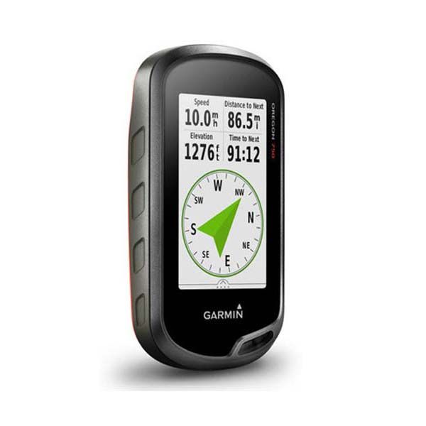
Built-in 3-axis compass, accelerometer and barometric altimeter.
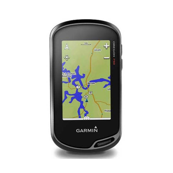
Bright screen, easy to read in the sun, 3 inches diagonal with landscape and portrait display modes.
Advanced wireless capabilities: built-in Wi-Fi, Bluetooth, ANT+, support for Active Weather** and real-time Geocaching services.
Smart messaging function*, as well as automatic data upload to Garmin Connect.
One-year subscription to BirdsEye satellite imagery service.
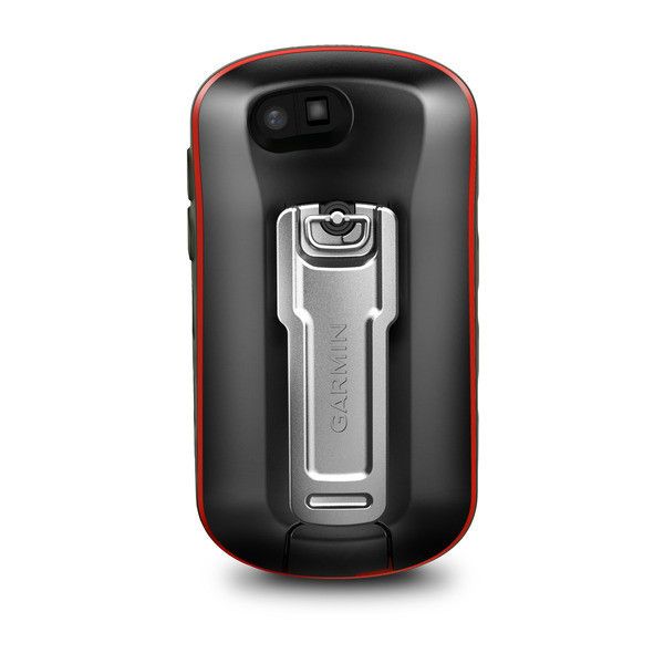
8 megapixel camera with flash, autofocus and geotagging function.
With the NavLux map of Ukraine!
Thanks to an improved GPS/GLONASS antenna that provides faster reception of satellite signals, the Oregon 750 travel navigator provides more options for travel and outdoor activities. This rugged and feature-rich navigator is great for hiking, cycling, geocaching, mountaineering, kayaking, ATV racing and more. The navigator includes built-in Wi-Fi, Bluetooth, ANT+ modules for automatic firmware updates, connection to a phone/tablet and additional sensors. Oregon 750 features Active Weather** and comes with a free one-year subscription to BirdsEye satellite imagery. In Ukraine, the Oregon 750 GPS navigator comes with a pre-loaded NavLux topographic map.
Interesting geocaching
The ability to wirelessly connect to the Geocaching.com website will allow you to get an unforgettable experience from using the service. By setting your device to automatically update geocache information, all important data, including coordinates, terrain, difficulty level, tips and descriptions, will be automatically downloaded to your Oregon 750. You will no longer need to manually enter coordinates or take paper printouts with you.
Take high-quality photos with geotags
Capture memories of your adventures and mark GPS coordinates of interesting places with the 8-megapixel digital camera with flash and autofocus. Each photo is automatically geotagged with coordinates so you can easily return to your favorite location in the future. You can also upload your photos to the Garmin Adventures**** app and share them with friends.
Comfort and ease of use thanks to extensive wireless connectivity
The navigator's advanced wireless connectivity makes it easy to update firmware, receive smart alerts from your smartphone, and upload your adventures to the Garmin Connect online service. In addition, you can share your location (Live Track function) and geocaching caches with family and friends using the Wi-Fi module and smartphone. Smart notifications from your compatible smartphone let you receive emails, incoming calls and text messages directly to your device's screen. This way, you will be aware of all events, even when you are away from friends and family.
Easy navigation
With an improved and more efficient GPS/GLONASS receiver, as well as built-in sensors (altimeter, barometer, compass), the Oregon 750 handheld navigator calculates your location as quickly and accurately as possible without interrupting satellite reception in remote areas under dense tree canopy or in deep ravines.
The built-in altimeter gives you accurate ascent and descent altitude data, while the barometer gives you advance warning of changing weather conditions by tracking short-term trends in barometric pressure changes. The navigator is equipped with a 3-axis electronic compass with an accelerometer that shows the direction even if you are not moving or holding the device level. The TrackBack function allows you to return to your starting point by repeating your route. In addition, you can mark various locations, such as the location of a camp, car or any other object.
Enjoy viewing data on a bright screen
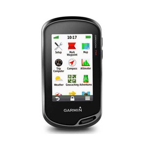
The Oregon 750 travel navigator is equipped with a bright 3-inch touch screen with the ability to display information in portrait and landscape mode. The image quality is impeccable, even in bright sunlight. The gadget supports a wide range of additional maps, including BlueChart® g2 HD for water navigation and City Navigator® for car navigation. With a rugged, IPX7 waterproof design, Oregon gives you the map and navigation information you need, even in challenging conditions. Personalize your Oregon 750's display by downloading free apps, widgets, and data screens from the Garmin Connect IQ Store***.
Plan your trips
Plan your trips in advance with BaseCamp software that lets you view and organize maps, routes, waypoints and tracks. You can also use this free program to create a Garmin Adventure trip plan that you can share with others. BaseCamp displays 2-D or 3-D topographic maps on your computer screen, including contour lines and elevation profiles. With a BirdsEye Satellite Imagery subscription (subscription required), you can stream an unlimited number of satellite images to your device.

